Science-based design and StoryMap
Science-based, Student-led, Site Redesign and Outreach of the Science Societies Headquarters
About
Explore how the national headquarters of the Alliance of Crop, Soil and Environmental Science Societies (ACSESS, or Science Societies) in Fitchburg, Wisconsin is transforming from a conventional suburban site to a demonstration of science-based, student-led ecological design through the project StoryMap.
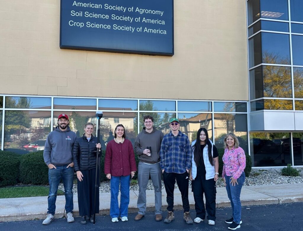
Our team at Silvernail Geodesign was delighted to participate in this year-long collaboration with the University of Wisconsin-Madison Department of Soil and Environmental Sciences, the Environmental Observation and Informatics program in the Nelson Institute for Environmental Studies and ACSESS.
What we did
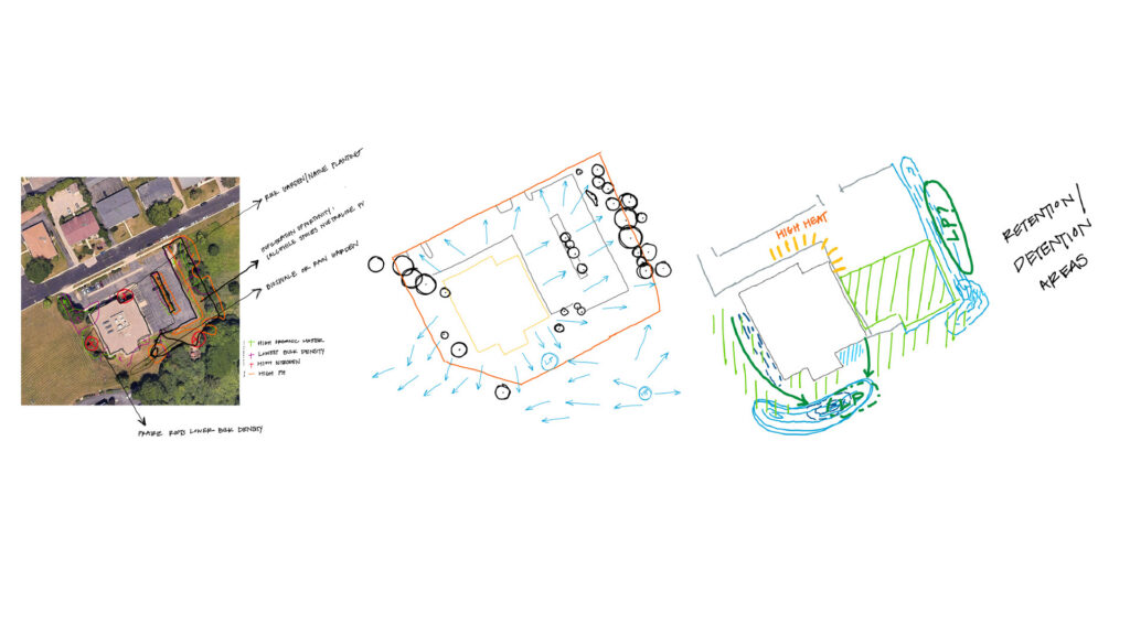
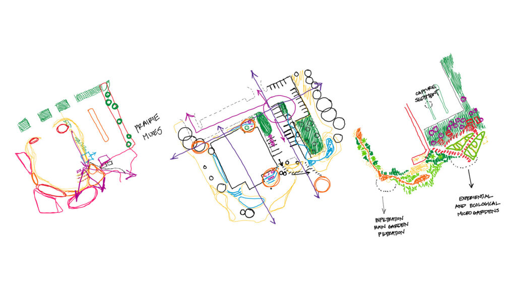
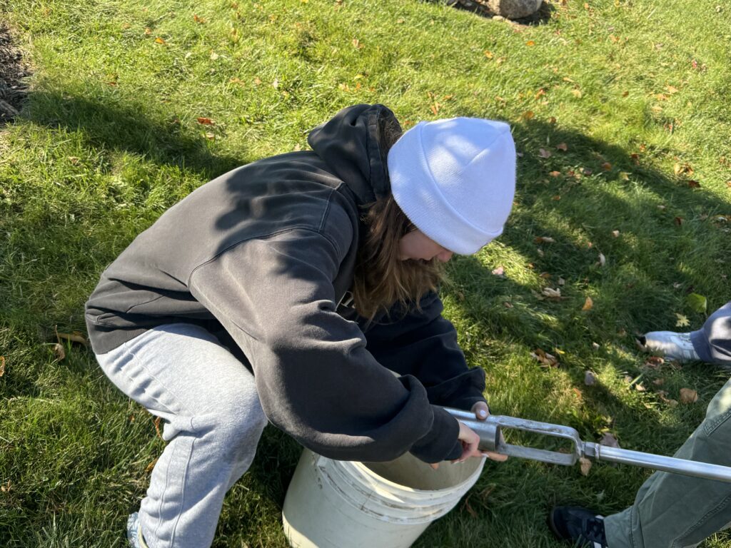
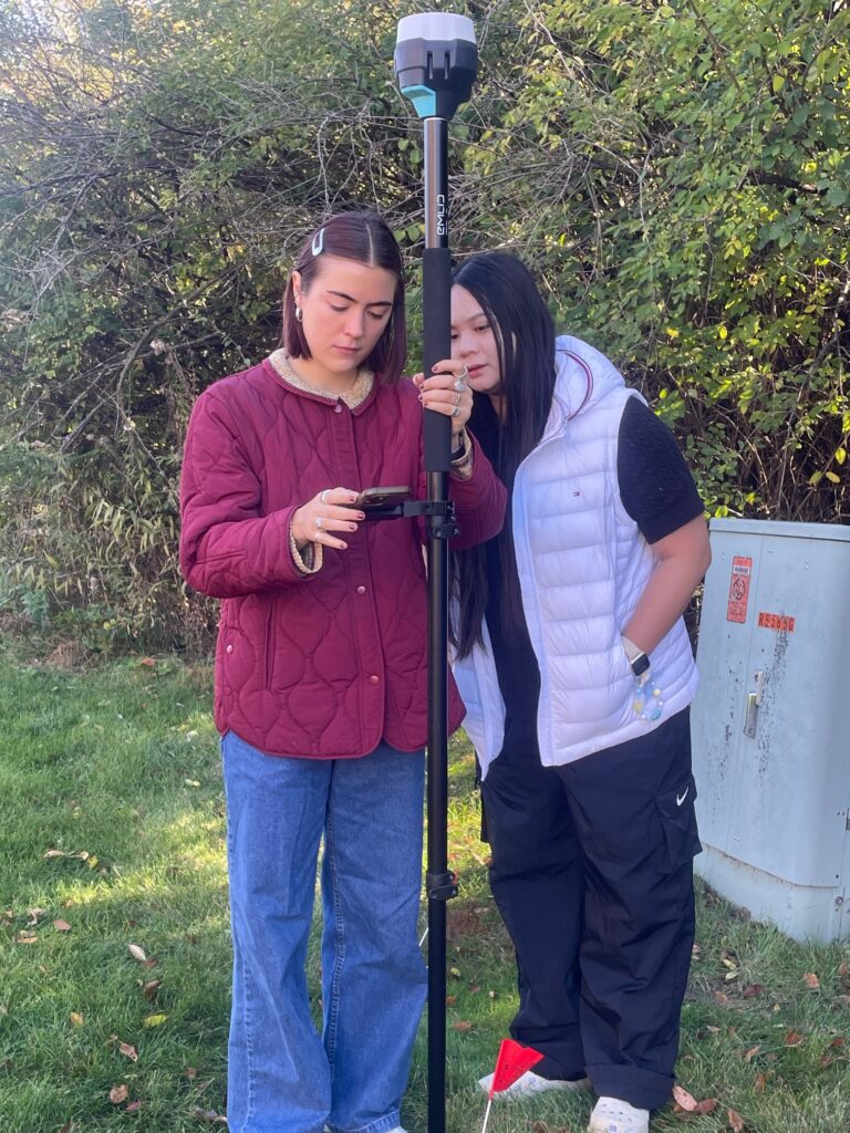
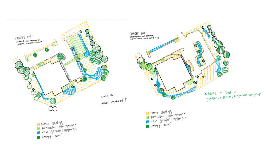
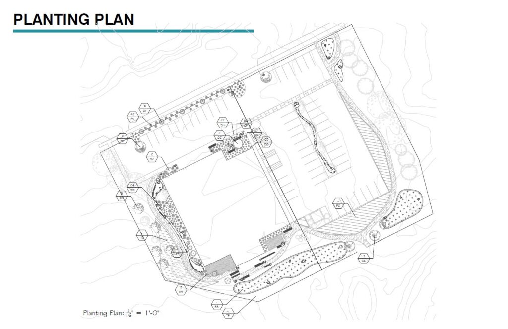
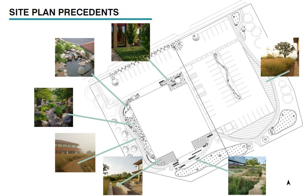
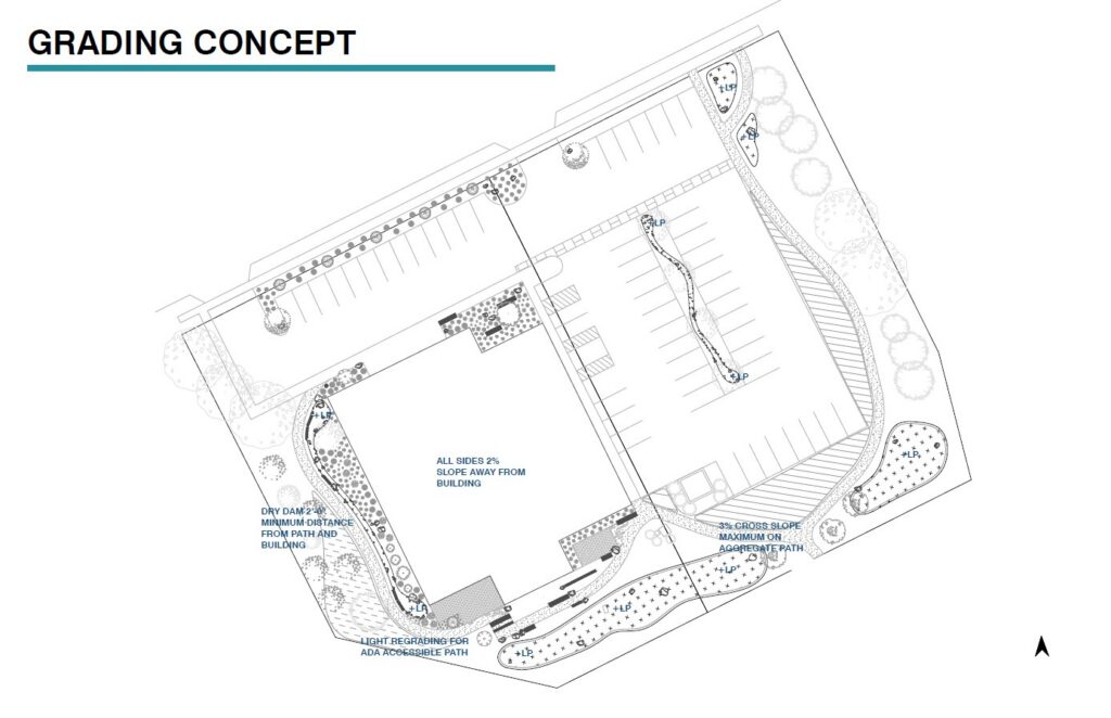
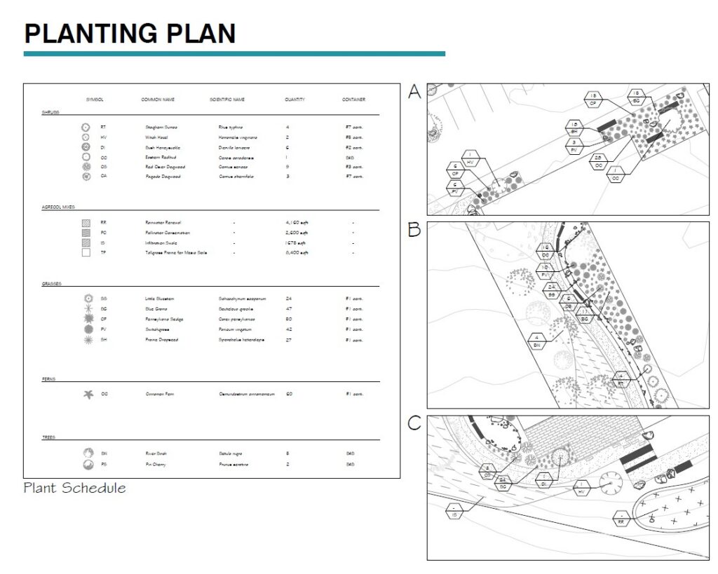
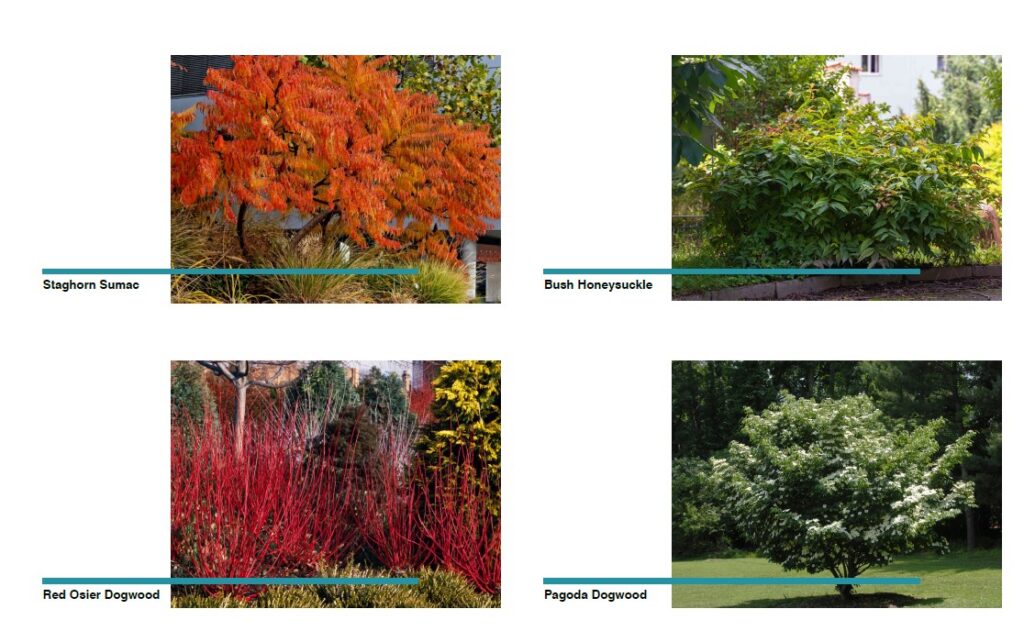
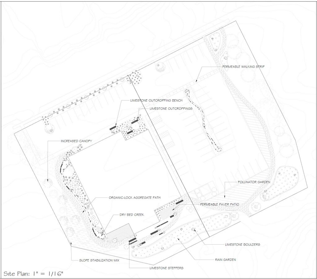
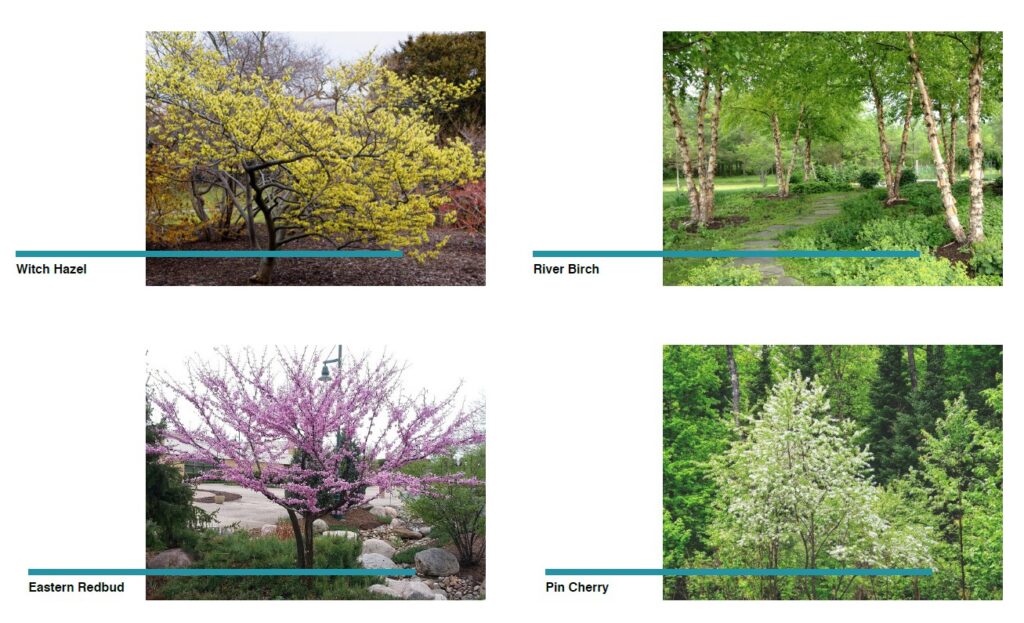
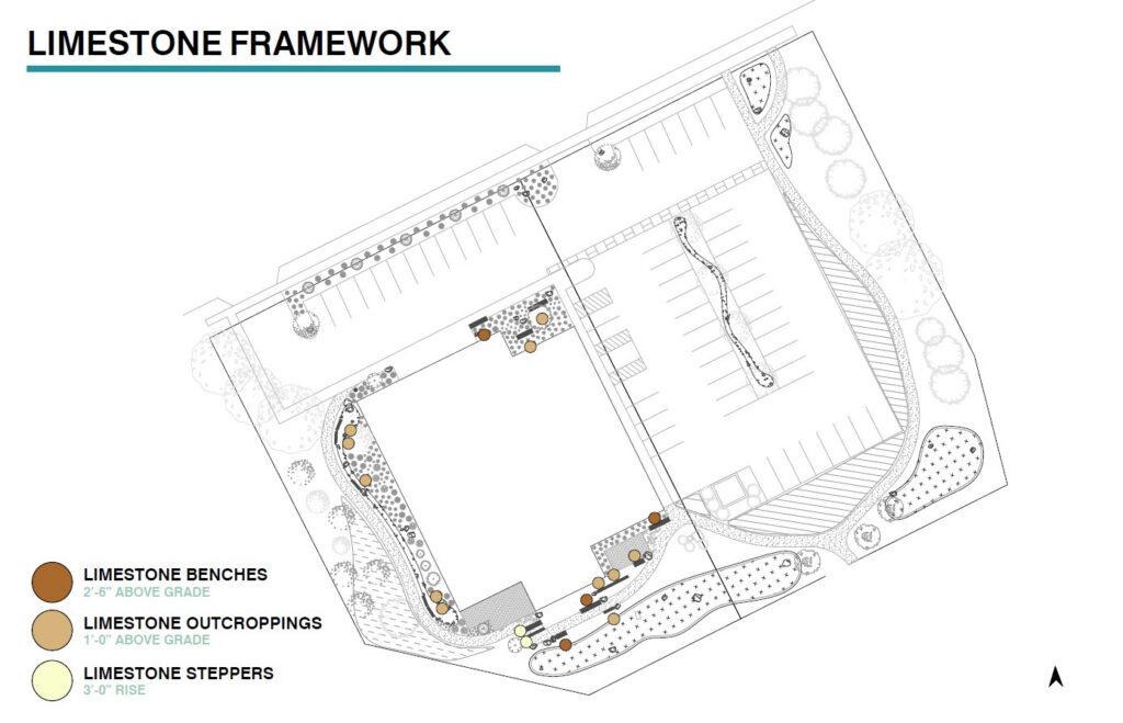
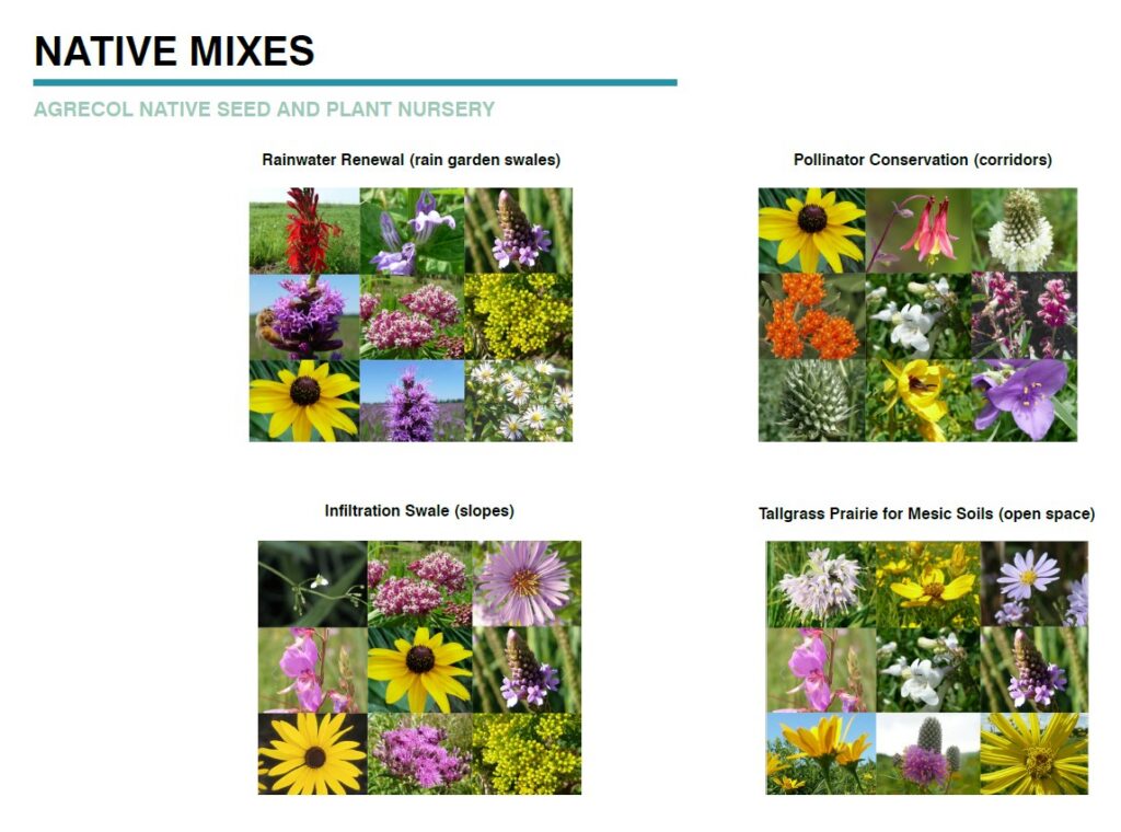
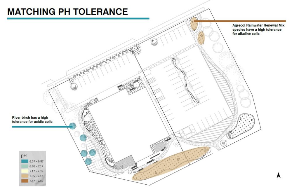
Informed by the soil assessment, spatial analysis and mapping done by students in the fall, Jayita Burman, a recent graduate of landscape architecture at UW-Madison created a responsive site design as an intern with Silvernail.
Unique to this project, we were able to pilot ScenarioStudio with a new feature – the ability to overlay Jayita’s concept sketches and trace them with the Editor in ScenarioStudio to compare impacts. Then we handed the application to the ACSESS team to create their own concept scenario, which guided Jayita’s final design drawings.
Janet also led the design and creation of the Asphalt to Ecosystem StoryMap as a living deliverable for ACSESS to share the story of the project and continue the outreach goals for this model site transformation.
Client
Alliance of Crop, Soil and Environmental Science Societies (ACSESS)
in collaboration with Dr. Nick Balster, the University of Wisconsin-Madison Department of Soil and Environmental Science and Dr. Edward Boswell, the University of Wisconsin-Madison, Nelson Institute for Environmental Studies, Environmental Observation and Informatics program.
Tools Used
ArcGIS Pro and ArcGIS Online to format spatial data and create webmaps
ArcGIS Survey123
ArcGIS StoryMaps
ArcGIS Experience Builder
ScenarioStudio by Silvernail Geodesign in ArcGIS Online