PROJECT INFORMATION
- Project type: Research, Mapping, Spatial Narratives
- Location: St. Louis River Estuary, Wisconsin – Minnesota
- Watershed area: 12,000 ha – largest freshwater estuary in Northern America
- Started in 2010, the project website is still active
- Consultants/ Partners: Wisconsin Sea Grant Institute, Minnesota Sea Grant Institute Program (See more)
- Project website: https://www.stlouisriverestuary.org
OVERVIEW
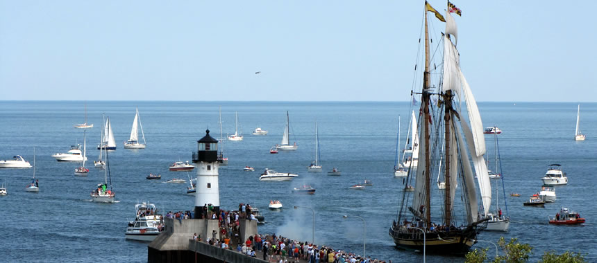
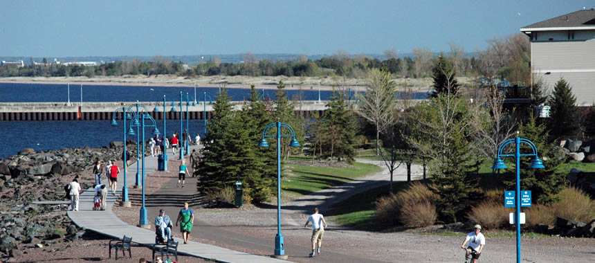
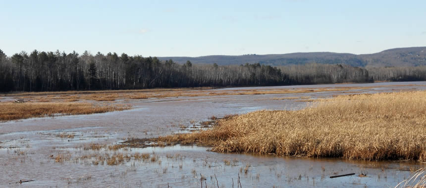
The St. Louis River Estuary (SLRE) is a freshwater system at the confluence of the St. Louis River with Lake Superior where the river and lake waters become mixed. The northern boundary between Wisconsin and Minnesota lies within SLRE. Like other estuaries, the SLRE is rich in biodiversity and provides many ecological services for local communities. It remains an active shipping port, is a popular travel destination for outdoor activities, and hub for social gatherings. This place is rich in character and interwoven connections between people and ecosystems.
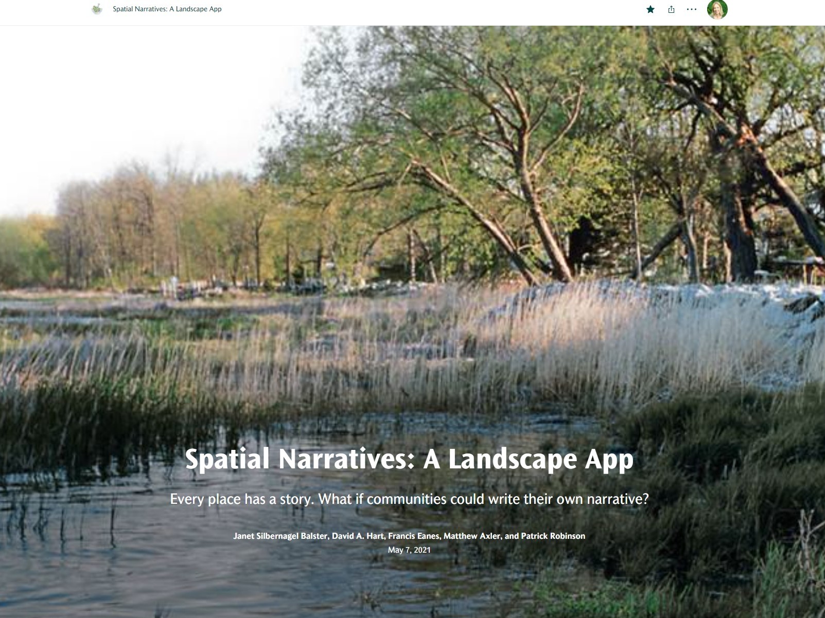
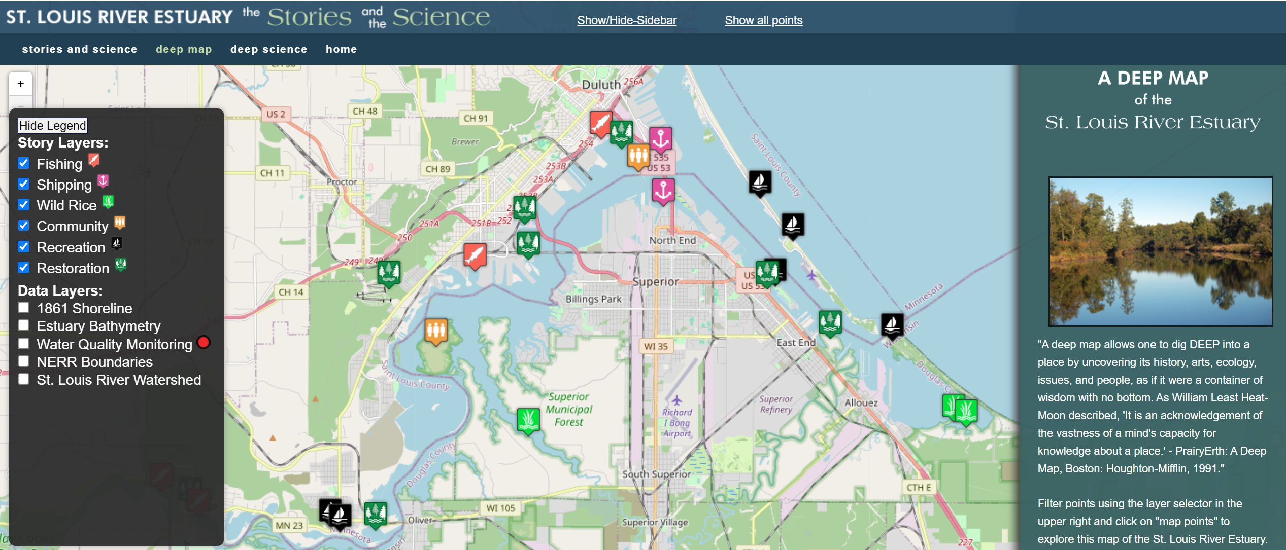
In the early 2010’s a team of aquatic and social scientists and conservationists collaborated to share the Science and Stories of social and natural elements in the estuary. These integrated aspects of place were located on a Deep Map to illustrate the spatial relationships of the people and the place, and to convey the influence of land-based stressors on aquatic ecosystem conditions. The Deep Map is aimed to be a learning tool to advance spatial literacy and conservation around environmental sustainability in coastal communities.
OUR WORK


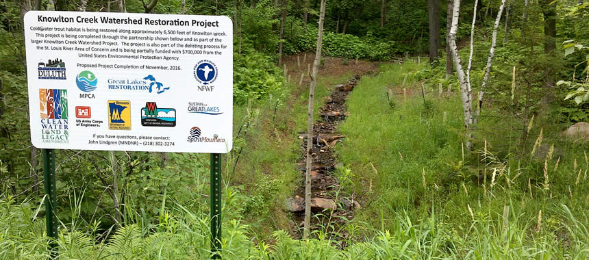
Silvernail’s founder – Janet, has been one of the principal investigators of the project. Together with Dr. George Host from the University of Minnesota-Duluth, she led a team of scholars to conduct the Stories part of the project. Developed through interviews and research, the Stories are grouped into vignettes that present perspectives of local people about six key themes, told through their voices with audio recordings: fishing, community, recreation, shipping, ricing, and restoration. These stories reveal the deep association of the communities with their local environment, hence, promoting environmental stewardship of the St. Louis River Estuary. The result of this project continues to be a valuable resource for students, decision-makers, and Lake Superior enthusiasts to deepen their knowledge about the place in the long-term.
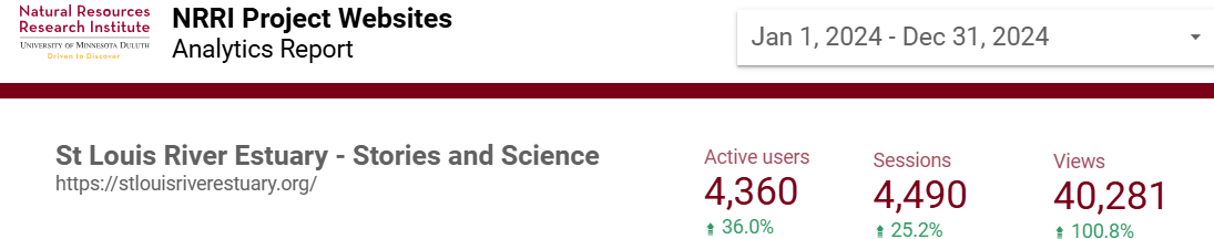
Even after more than 10 years, this site is remarkably relevant and active with 4,360 users and 40,281 views in 2024.
METHODS USED
- Spatial narrative concept ( Silbernagel 2006 paper)
- Deep Map
- Audio recordings
- Stressor gradient analysis
SIMILAR PROJECTS